
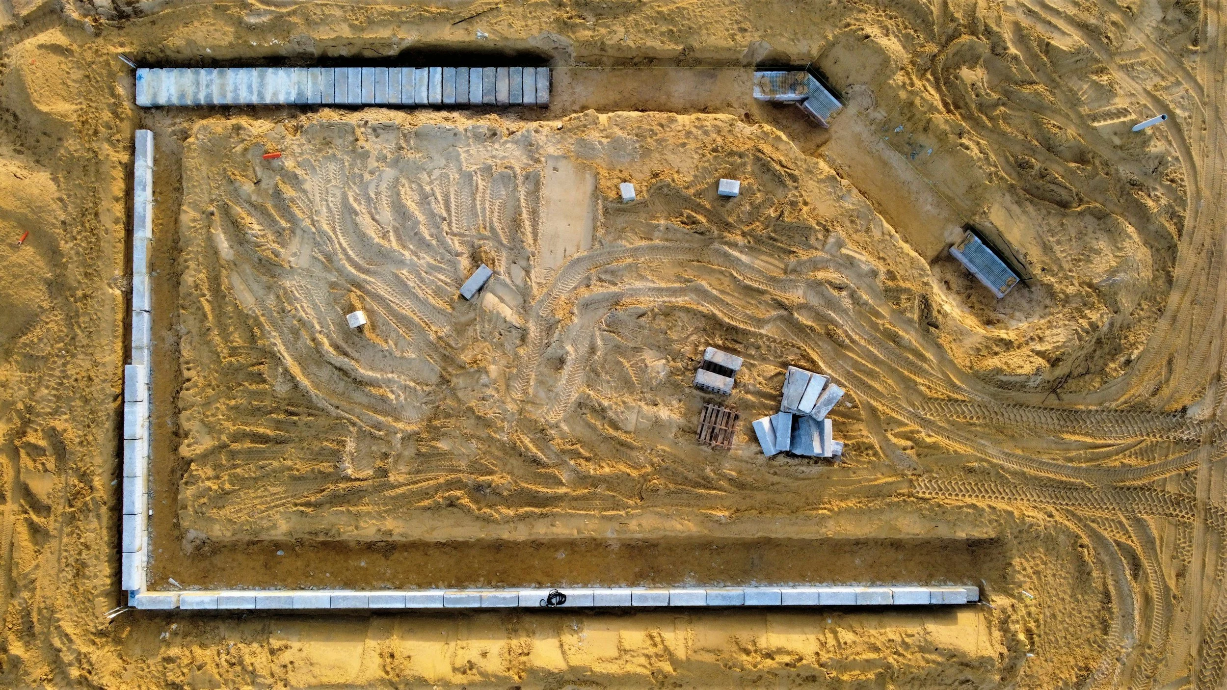
Construction Progress - Aerial Imagery - Site Documentation
See the whole project. Document every milestone
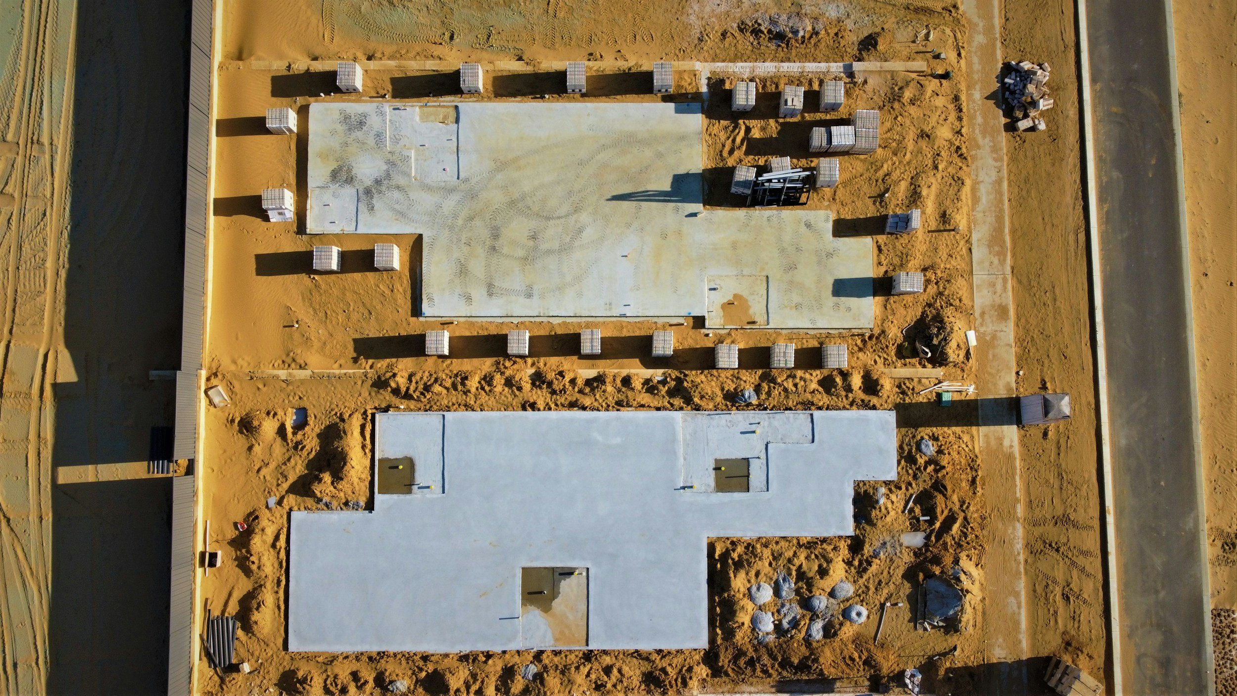
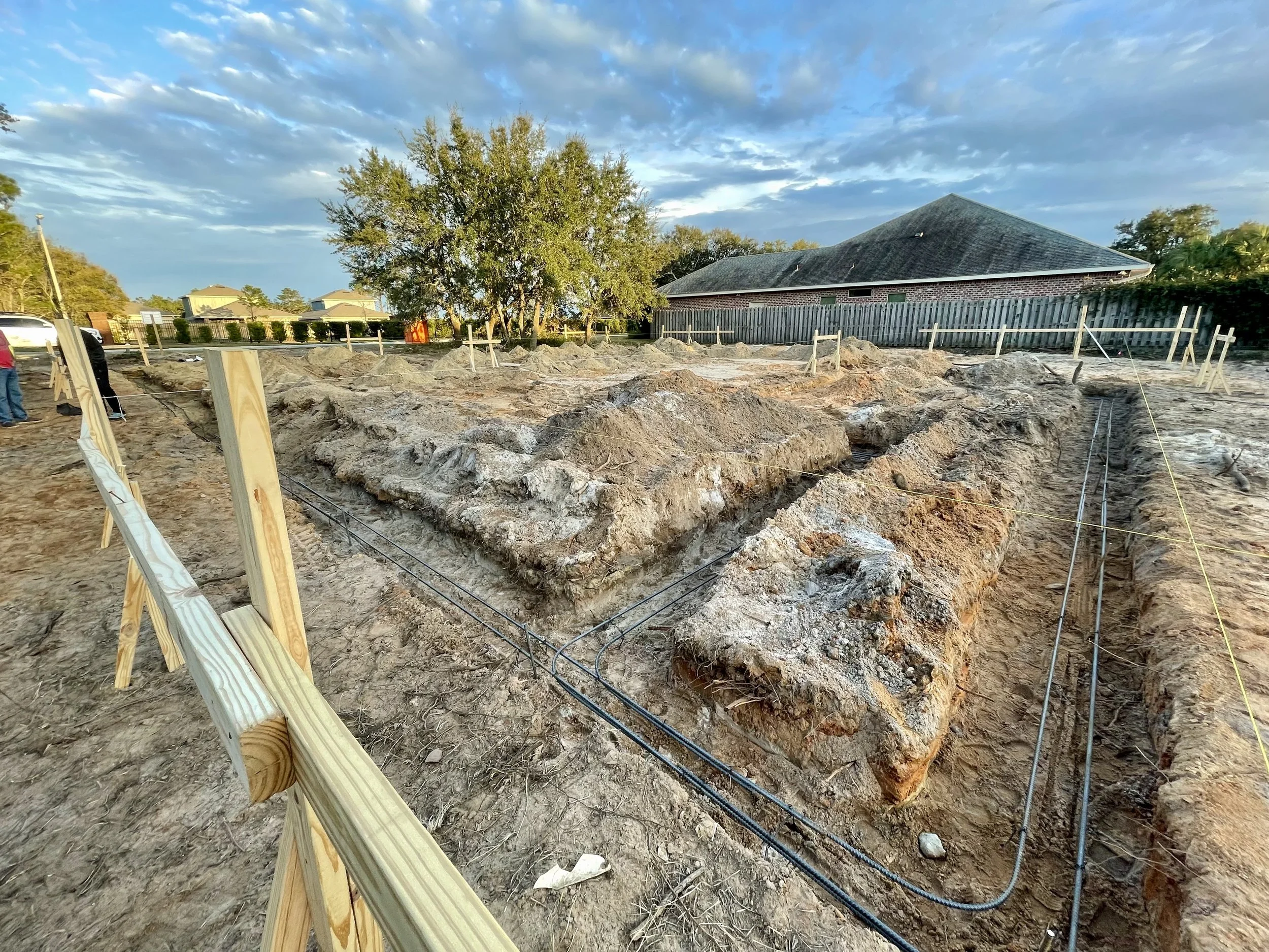
Waypoint Aerial delivers professional aerial imagery and site documentation for construction, development, commercial property, and infrastructure projects.
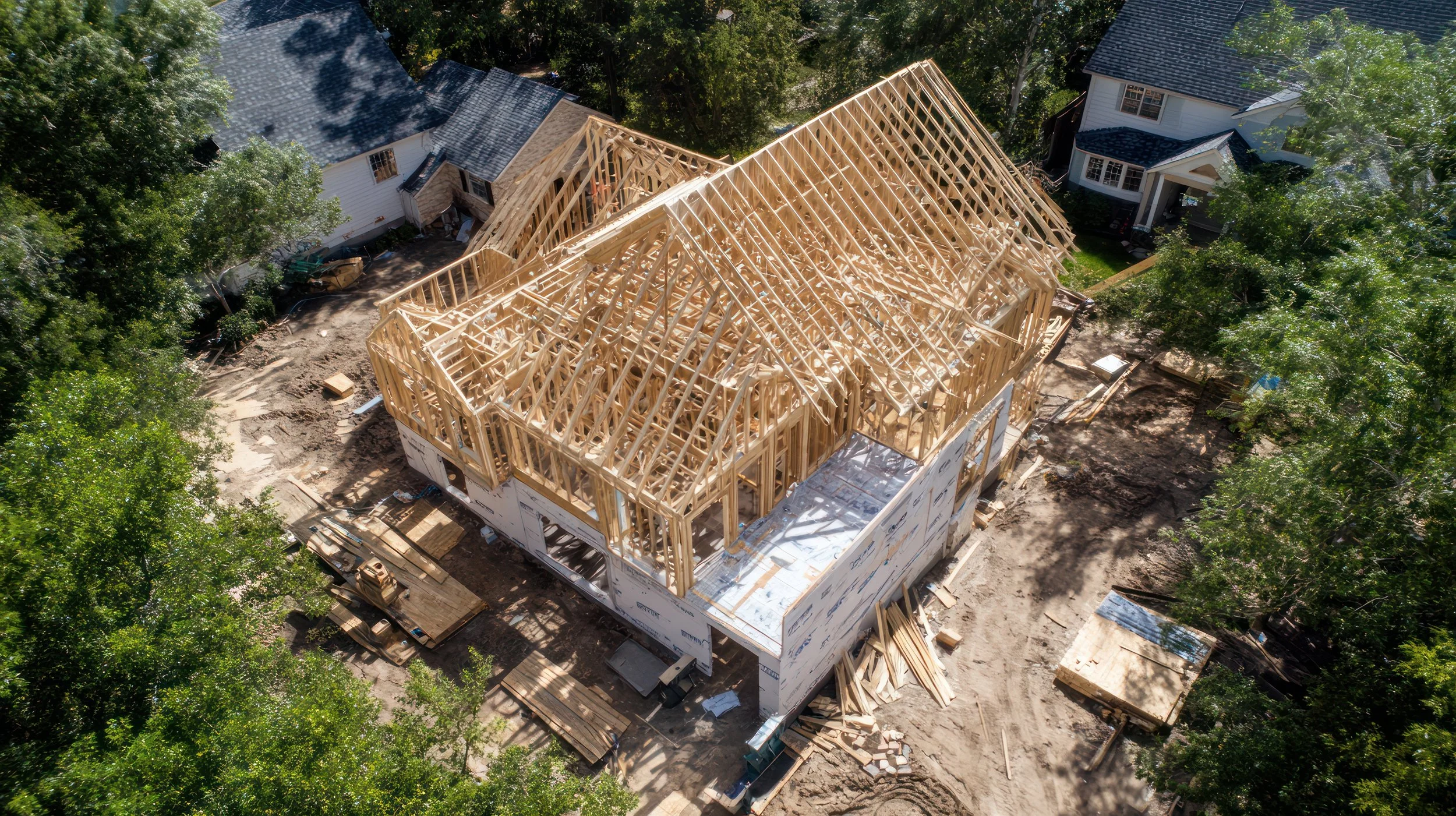
From groundbreaking through closeout, we capture the perspective that ground-level photos cannot: the complete jobsite, active work zones, site access, material staging, structural progress, and the changes that occur between visits. Our repeatable flight and capture process creates organized, time-stamped visual records your team can use for progress reporting, stakeholder updates, coordination, and project history. Regular aerial documentation can provide a consistent record of work, help remote stakeholders understand site-wide progress, and support clearer communication among project teams.
Waypoint Aerial is built for field professionals who need practical deliverables—not flashy drone footage. You receive high-resolution aerial photos, concise video updates, orthomosaics when appropriate, and organized cloud delivery that makes files easy to share with owners, lenders, subcontractors, consultants, and internal teams. Commercial drone services can provide recurring aerial records, where the project scope and equipment support those deliverables.
Key capabilities
• Construction progress documentation — Scheduled aerial site visits that create a chronological, time-stamped record from mobilization through closeout.
• High-resolution aerial photography — Site-wide overviews, elevation/structure updates, milestones, before-and-after imagery, and marketing-ready stills.
• Project update video — Concise aerial video clips for owner updates, presentations, leasing, marketing, or internal communications.
• Site-condition documentation — Aerial records of access, staging, earthwork, materials, exterior conditions, and changing site context.
• Remote stakeholder visibility — Clear visual updates for owners, developers, lenders, consultants, and executives who cannot visit every jobsite.
Professional Service Packages
Site Development Documentation
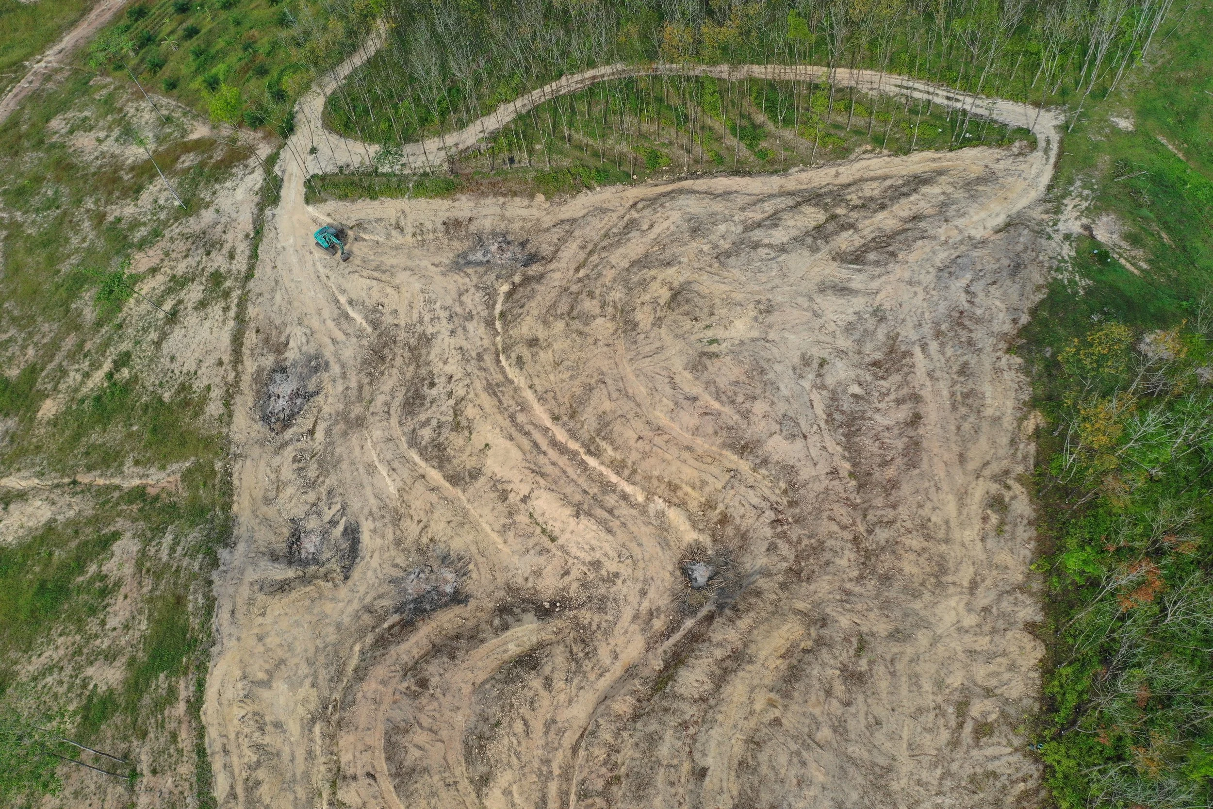
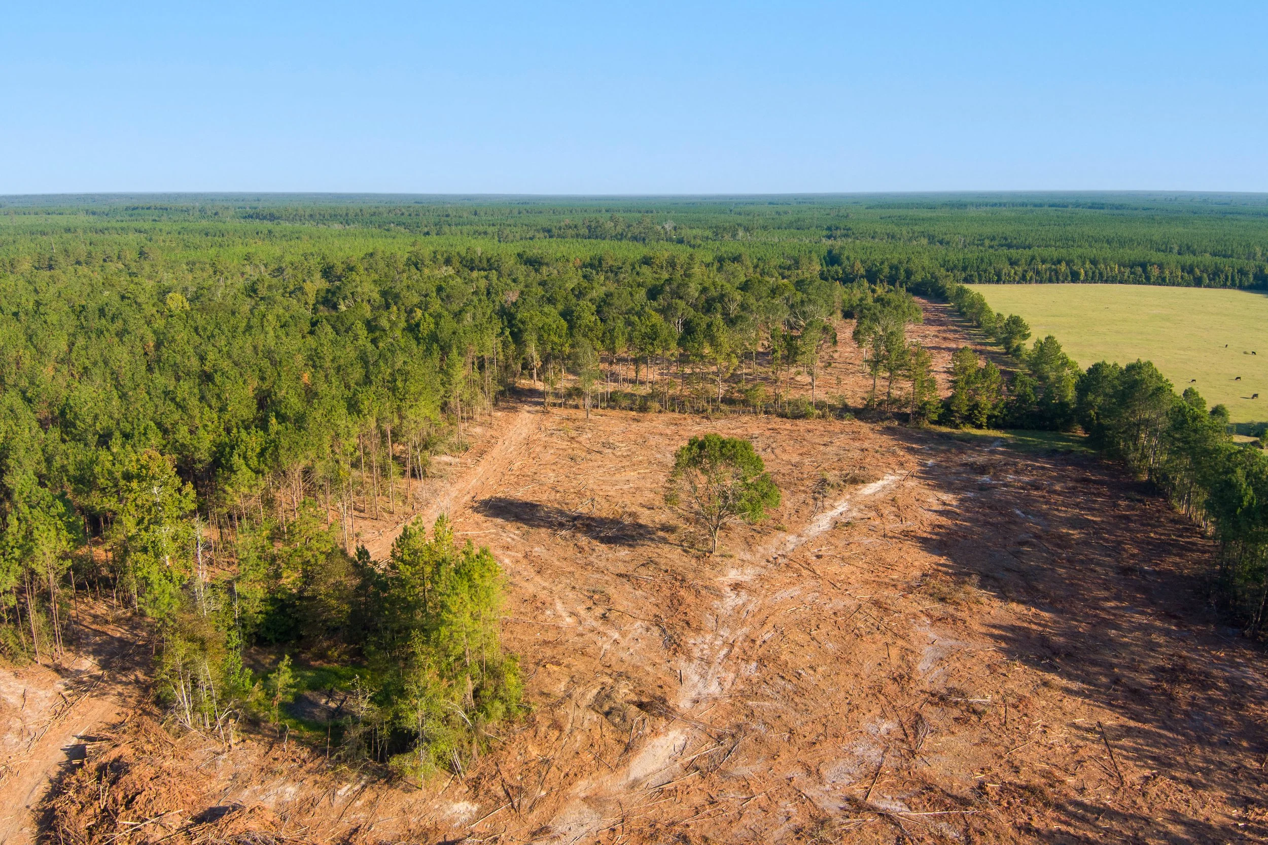
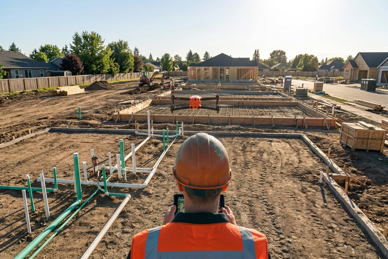
Site Development imagery documents land preparation and early-stage infrastructure work, including clearing, grading, drainage, utilities, roadways, and pad-ready conditions. Waypoint Aerial provides an elevated perspective that helps developers, contractors, engineers, and property owners monitor site activity and communicate development status clearly. Repeatable aerial coverage creates a visual record for planning meetings, investor reporting, marketing, and future project reference.
Construction Progress Monitoring
Commercial Imagery delivers polished aerial photography and video for real estate, commercial properties, developments, hospitality venues, and business marketing. Waypoint Aerial creates high-impact visuals that show property scale, access, surrounding amenities, location advantages, and features that conventional ground photography may miss. The final media is optimized for websites, listings, social channels, proposals, and promotional campaigns.
Commercial Imagery
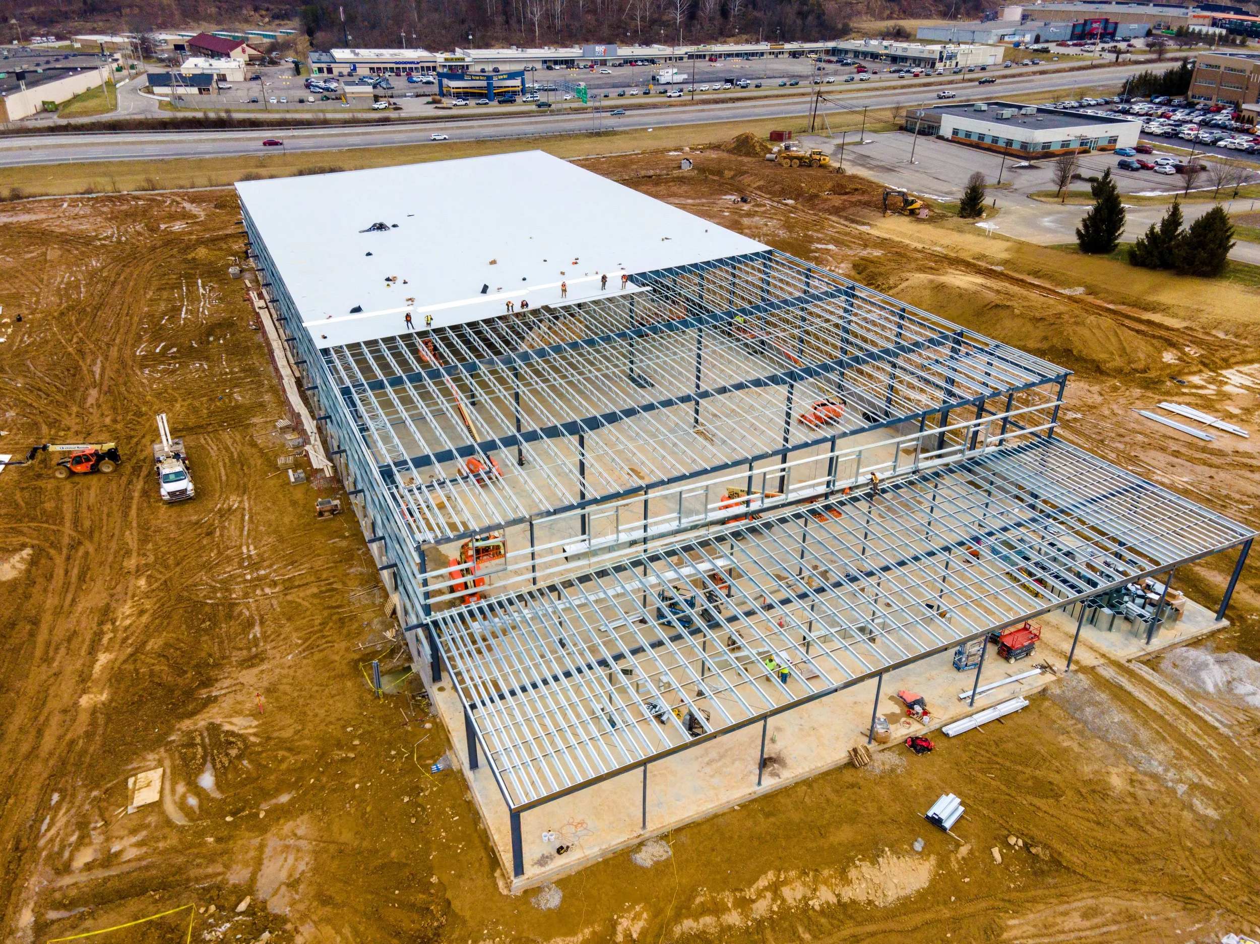
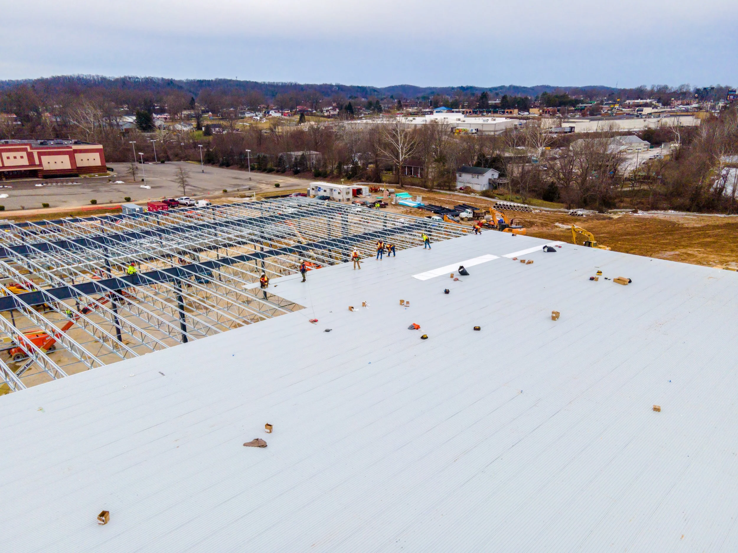
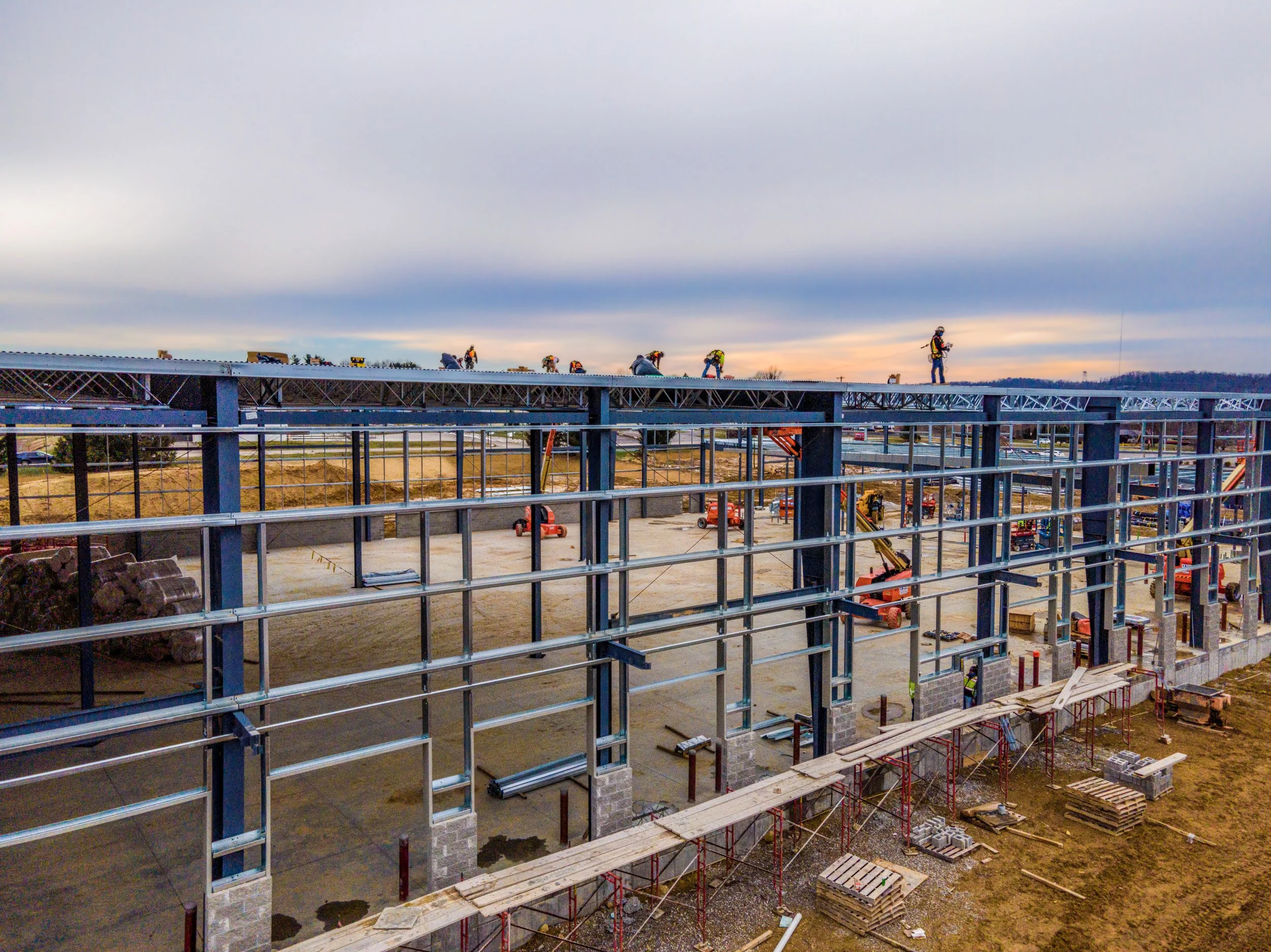
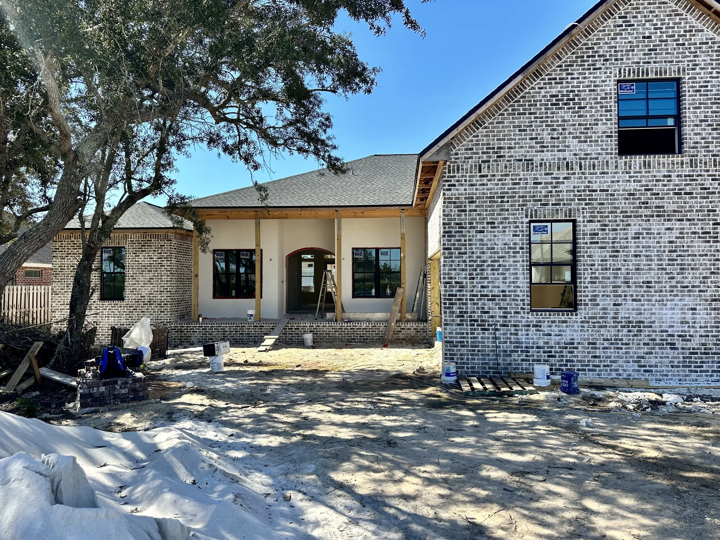
Construction Progress provides recurring aerial documentation that gives project stakeholders a clear, consistent view of work completed, active operations, and upcoming phases. Waypoint Aerial captures standardized photos, video, and site overviews from repeatable flight positions to make progress easy to compare across weeks or months. Deliverables support owner updates, contractor coordination, marketing, dispute documentation, and remote project oversight.
Elevating Visual Storytelling
Waypoint Aerial exists to help customers see their properties, projects, and progress from a clearer, more powerful perspective. As a veteran-owned and operated aerial-imaging company, we bring disciplined planning, dependable service, and professional visual storytelling to every mission. Licensed and insured, Waypoint Aerial delivers trusted aerial solutions that help clients communicate value, make informed decisions, and present their work with confidence.
Initiate a Project Inquiry
Submit project parameters to receive a tailored flight plan and timeline assessment.